Your Prescription for Cedar River Rentals
About the Route

This map shows Mitchell County in relation to the surrounding counties for reference.

This is the table for all of the public access points, distances and times.

This map shows all of the river access points-follow the roads to the locations on the map and watch for river access signs for clearer direction.

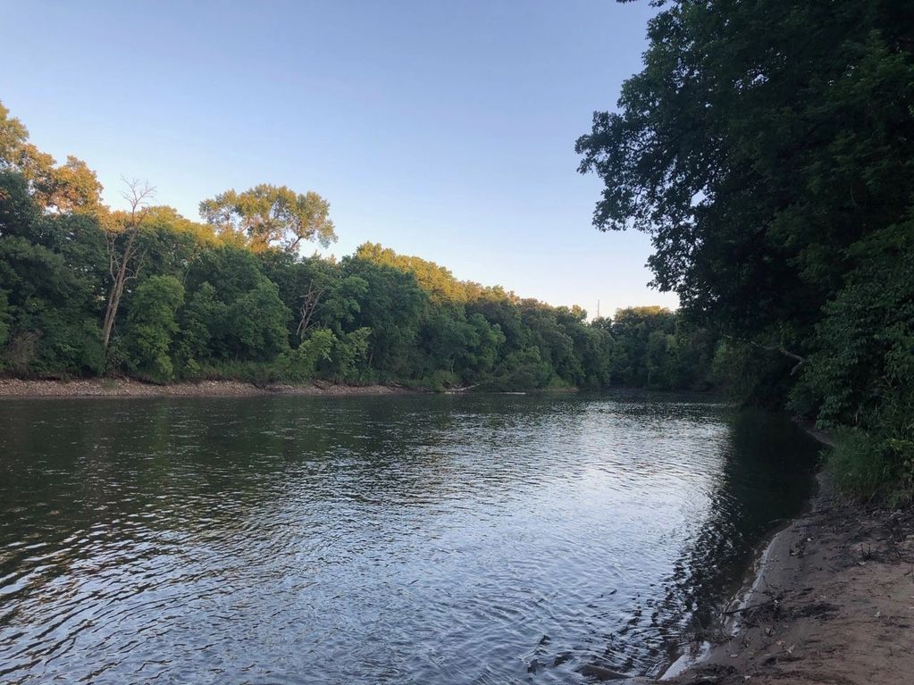
One of the views of the Cedar River, south of Osage, near the Lime Kiln Road Bridge.

Kayakers enjoying the Cedar River, near Otranto, north of Osage and St. Ansgar.

The smooth waters are being enjoyed by several kayakers, while passing by the rail road bridge outside of St. Ansgar.
Show More